Thursday, May 25, 2006

Mt. Mulanje Hike

Mt. Mulanje Hike - April 14th -17th

Ahhhh Mulanje! What a treasure Mt. Mulanje is! The hiking here is SUPER, the hard part is just getting to the top :)
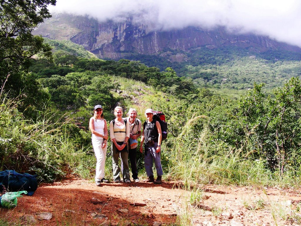
Mt. Mulanje is actually made up of several mountains, the highest being Mt. Sapitwa (9843 ft or 3001 meters). I went hiking over the long Easter weekend with 3 others, Jill, Paul, Emma and our trusty guide – Edwin. A guide ended up being a necessity as the paths on the Mt.Mulanje massif are not well marked and it is easy to take the wrong turn at a number of junctions and quickly get lost. It is also a good way to contribute some funds into the local economy!
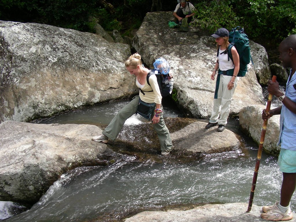
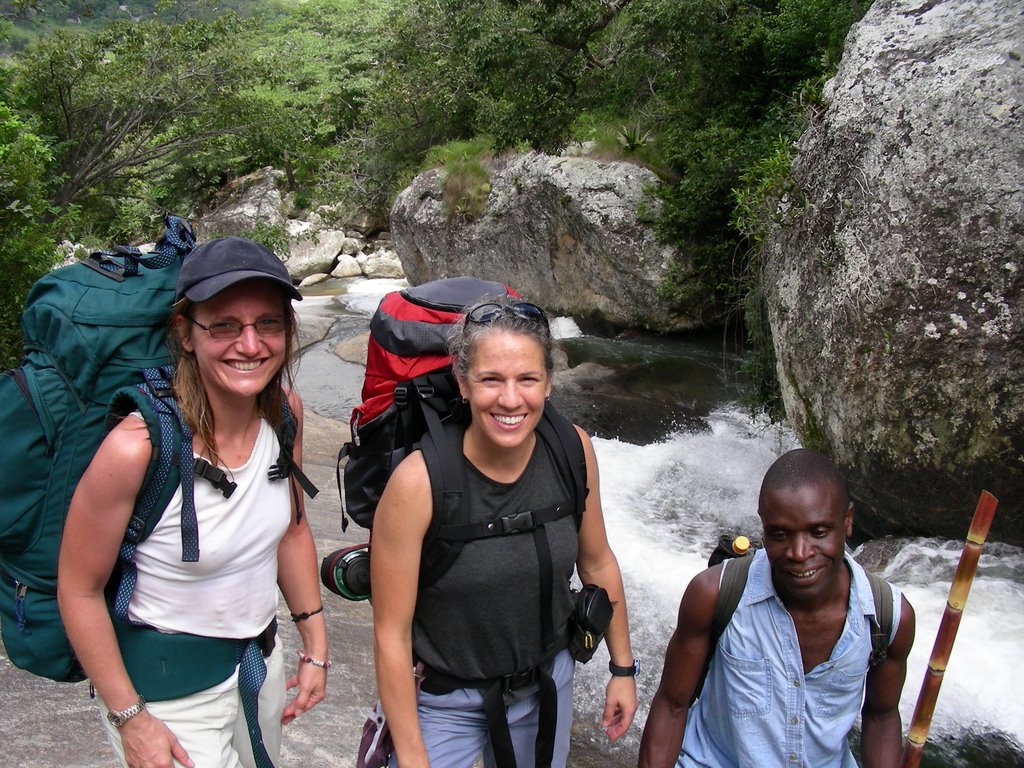
The 5 of us started out from the CCAP Mission in Likhubula, at the based of the mountain just past the small town of Mulanje. We immediately started climbing up and continued going up and up for the next 4.5 hours on the Chapaluka Path. This trail was beautiful – we crossed many creeks; passed numerous waterfalls; all sorts of cool vegetation (see below for photos); and many spectacular view of the valleys and surrounding mountains.
Once we reached the top of the Mulanje plateau, the path became a bit more bearable and after a couple more hours we arrived at the Sapitwa hut, where we spent our first night. The Mt. Mulanje area has a great network of paths on the top of the plateau and several huts, about 8, to stay in. All the huts have a caretaker that provides fresh water and wood for the fire and will even clean up your dirty dinner dishes. The huts also have a closet full of pots and dishes to use.
We ate a ‘delicious’ dinner that night – pasta with shitake mushrooms…YUM! (It is amazing how good a simple pasta dinner taste after such a hard day of hiking.) Since this was a long holiday weekend, the hut was packed full of hikers, some Peace Corps folks, other volunteers and ex-pats. But everyone was able to find a place on the fire to cook and a place on the floor to sleep. With this many folks sleeping in such close quarters I was thankful I brought my earplugs and was able to sleep…that is until the wind started howling about 3am. The sound of a fierce wind usually puts a smile on my face as I love to hear the roar of nature, however this time it brought a bit of angst. I became worried because we were planning on hiking to the peak of Mt. Sapitwa the next morning and a strong wind meant that it would either be a difficult and not so fun hike to the summit or no summit at all.
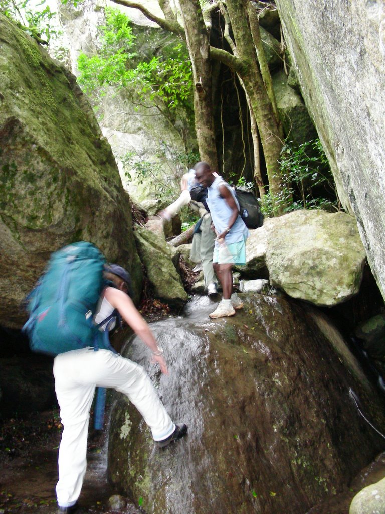
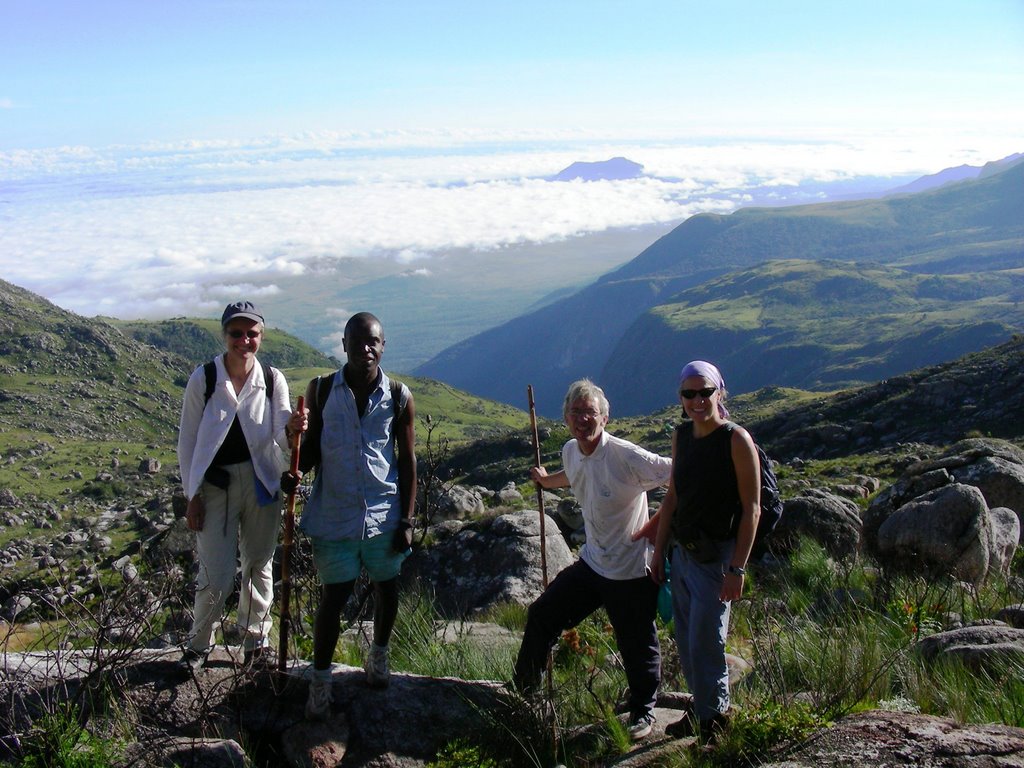
We woke the next morning to a beautiful sunrise over the valley below and a calm morning. Happy with the weather and our tummies full of porridge, we started off to the top of Malawi! Again, we were very glad to have a guide with us. The path to the summit of Mt. Sapitwa is poorly marked and very difficult to follow. You really need to know the way up or you would get completely lost. In fact another hiker did get lost on the morning we headed up the mountain. About an hour into our climb, we came across a Dutch woman that had become separated from her 2 friends (no guide) - she was alone and extremely upset and frightened. She joined us until we found her friends a bit further on. The woman was still shaken up and ill prepared for the tough hike. We were able to persuade one of them to take her back down the mountain as she was in no condition to carry on. So with our trusty guide Edwin leading the way, we were able to enjoy the climb up. I enjoyed this hike so much as it was another fun path… going through a huge boulder field meant we went up, crawled under, climbed over, jumped onto and squeezed in between huge boulders. FUN!! There was one fairly tricky section - very steep and exposed rock face that would be a bit sketchy if wet and would be too way too slippery climb up, or down. Luckily the weather was good – all during the climb up and we had wonderful views of the surrounding mountains, the plateau and the valleys below.
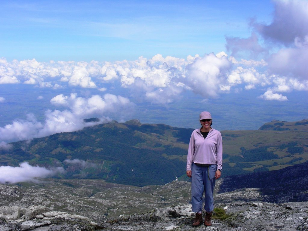
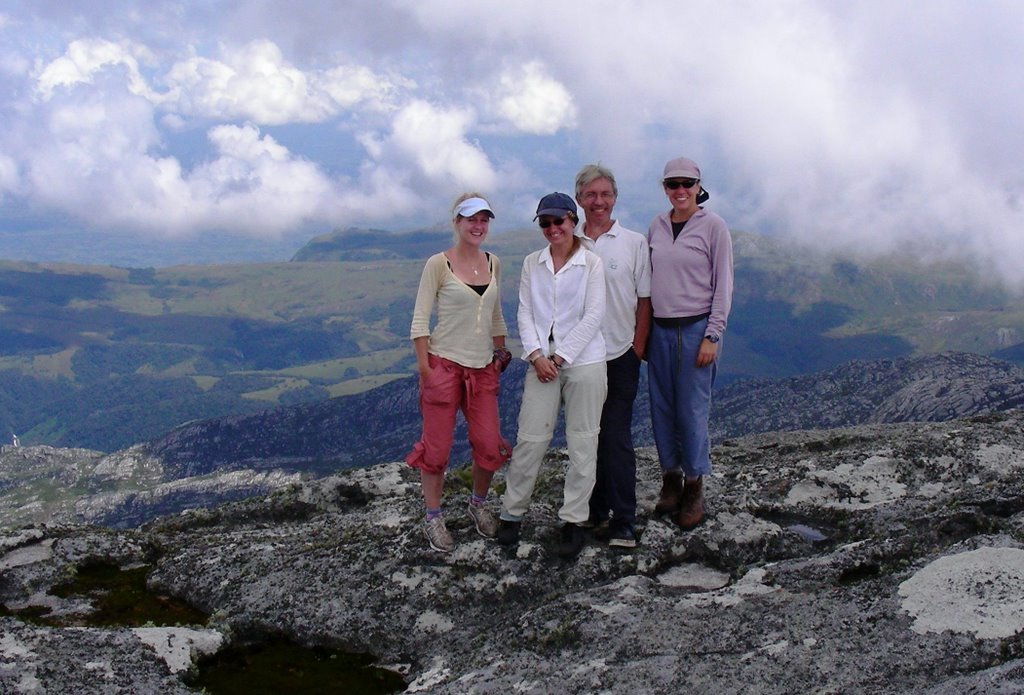
We made it to the top, however the clouds made it there before we did, so the views were not as spectacular as during our climb. However, we were able to see the many waterfalls on the plateau below and the tea estates far below at the base of the mountain. Not a bad way to spend the day!!
We headed down, got through the tricky part – most of it sliding down on our bums… picked up our packs at the base and headed to the other hut, Thuchila Hut. We arrived to the hut just after dark and in the rain… very tired but so happy that the weather had held while we were on the mountain! Another delicious pasta dinner and a good sleep got us ready for the steep hike down the massif the following day.
Woke to another beautiful day on the mountain and did a bit of yoga as the early sun was hitting the mountains. Not a bad way to start the day!!
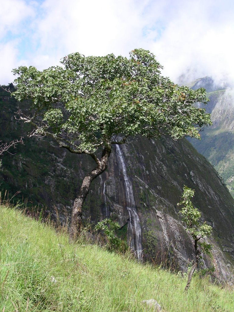
Unfortunately there is no easy way down the mountain, as all the paths are fairly steep and oh so hard on the knees!! There was a great waterfall that was in view most of our decent down, down, down to the Thuchila River where we had our lunch break. I think this was my favorite part of the hike. It was nice to be sitting next to a river again.
With the difficult part over, I put on my Chacos and enjoyed the easy hike through the village along the trail to the road all the way practicing my Chichewa...
“Mwaswera bwanji?”
“Ndaswera bwino, kaya inu?”
“Ndaswera bwino. Zikomo.”
“Zikomo.”

I could easily spend a week up on top of Mt Mulanje exploring all the corners of this beautiful and magical place. So if anyone is interested in seeing this magnificent mountain, I will gladly go back and be your hiking partner!!

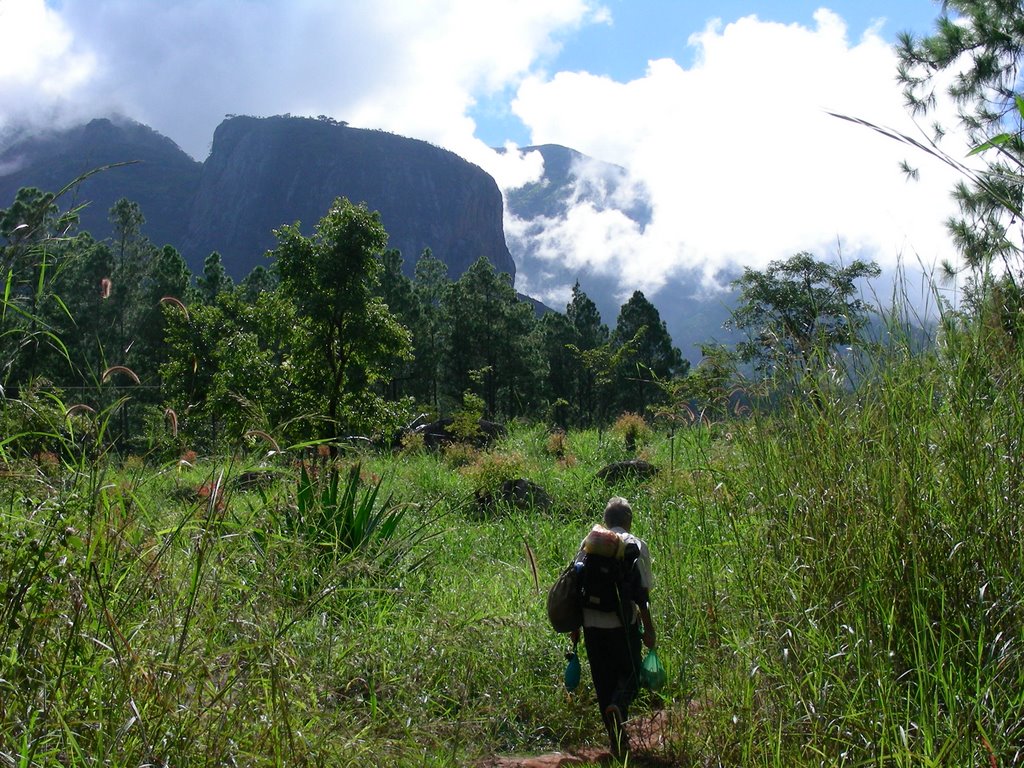
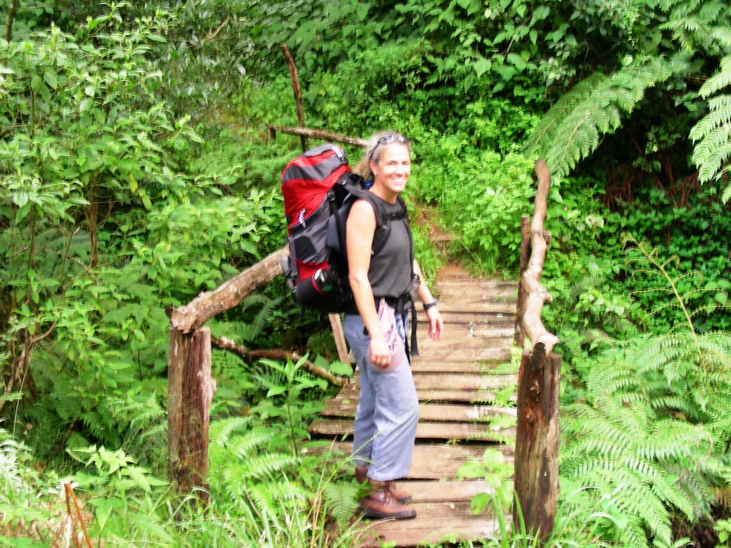
Starting out on our hike. Mt. Mulanje and our destination loom ahead:


The group (Jill, Emma, Paul, me) full of energy at this point in the day:


One of the many water crossings on the hike:


Jill, me and Edwin:


There are many tricky spots along the way:


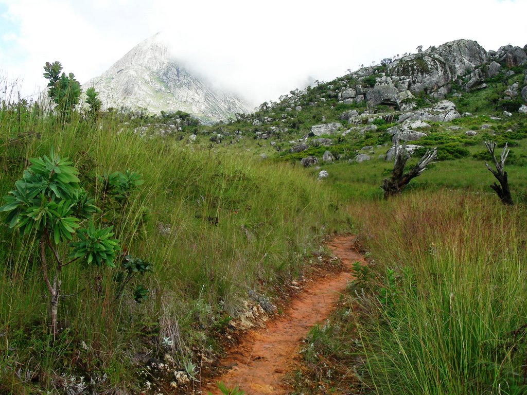
At the top of the plateau:


Hiking trail view:


The vegetation was amazing – I loved these little trees:
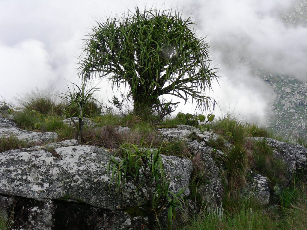


Tree in clouds:


View of the valley and trees:
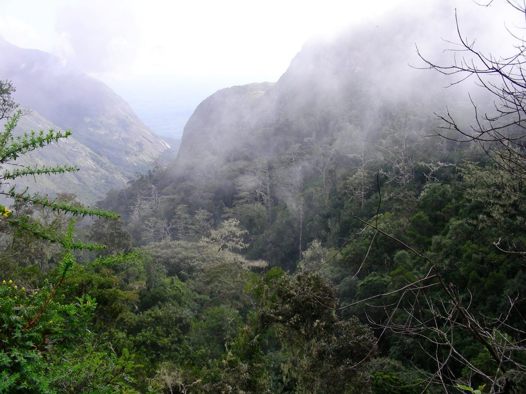


The clouds would come and go, revealing the magnificent mountains surrounding us.


Another hiking trail view:
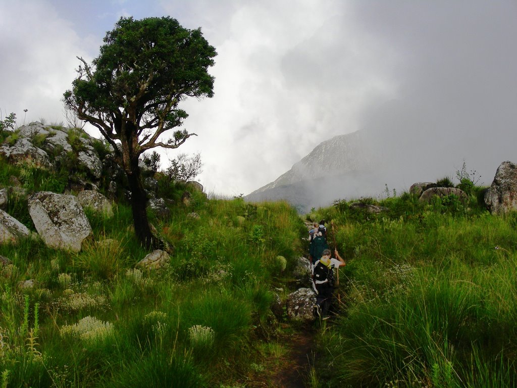


Mountain view:
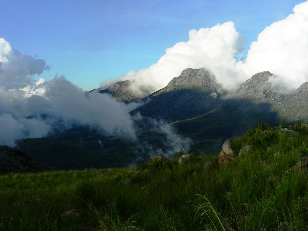


Sapitwa Hut – where we spent the 1st night:
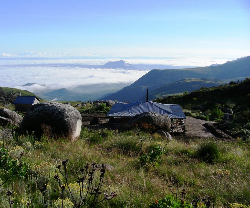


On the way to the peak of Mt. Sapitwa:


Above the clouds:
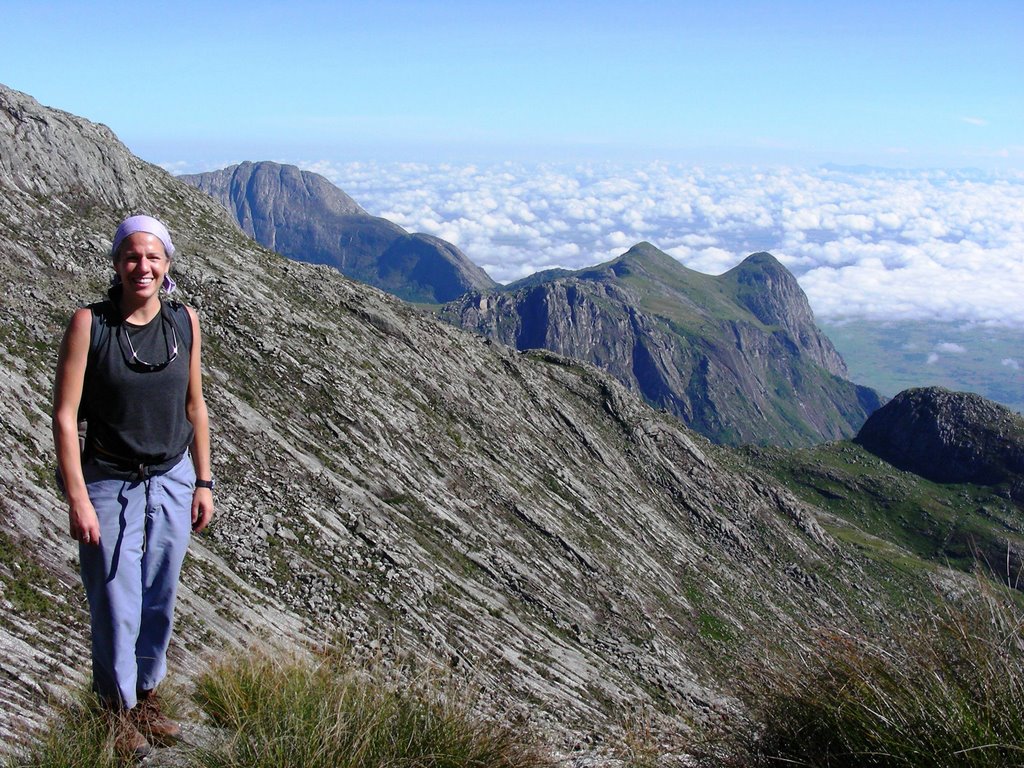


Mountain view:


Our wonderful guide Edwin:


The top of Malawi:


The group at the top of Malawi:


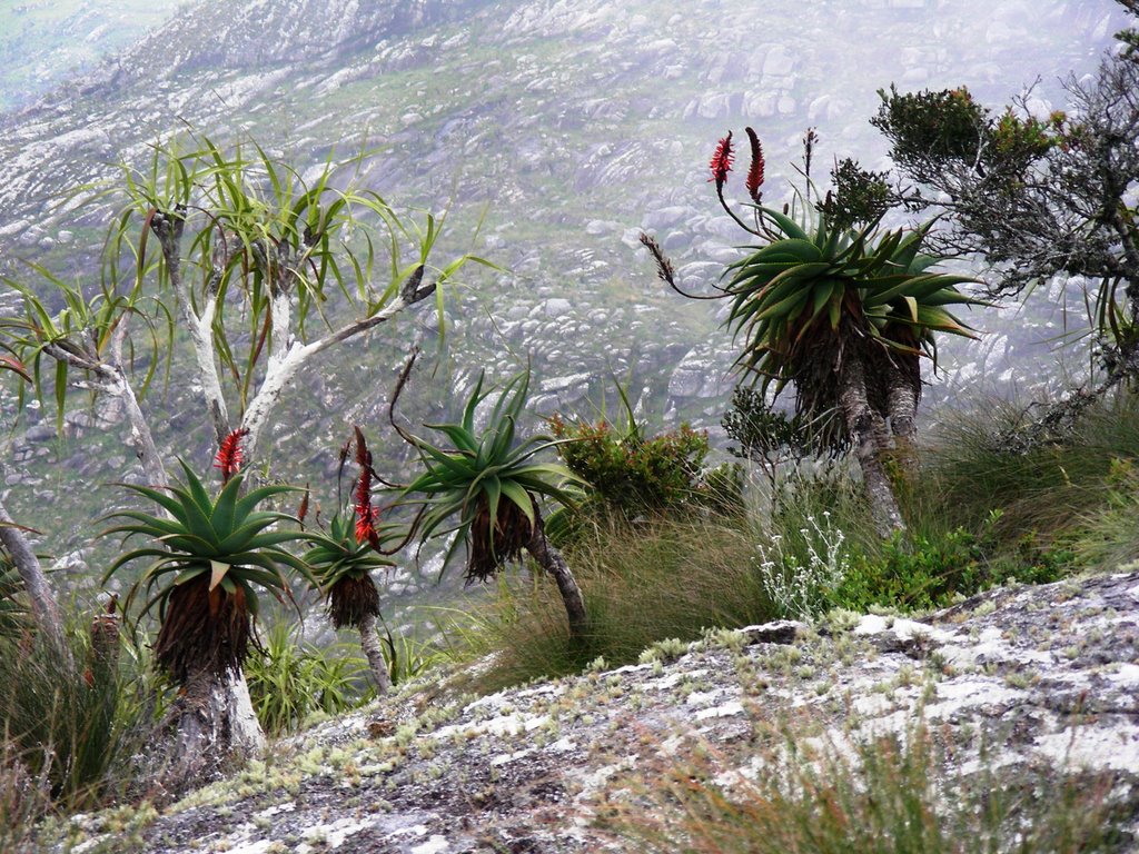
More cool vegetation:


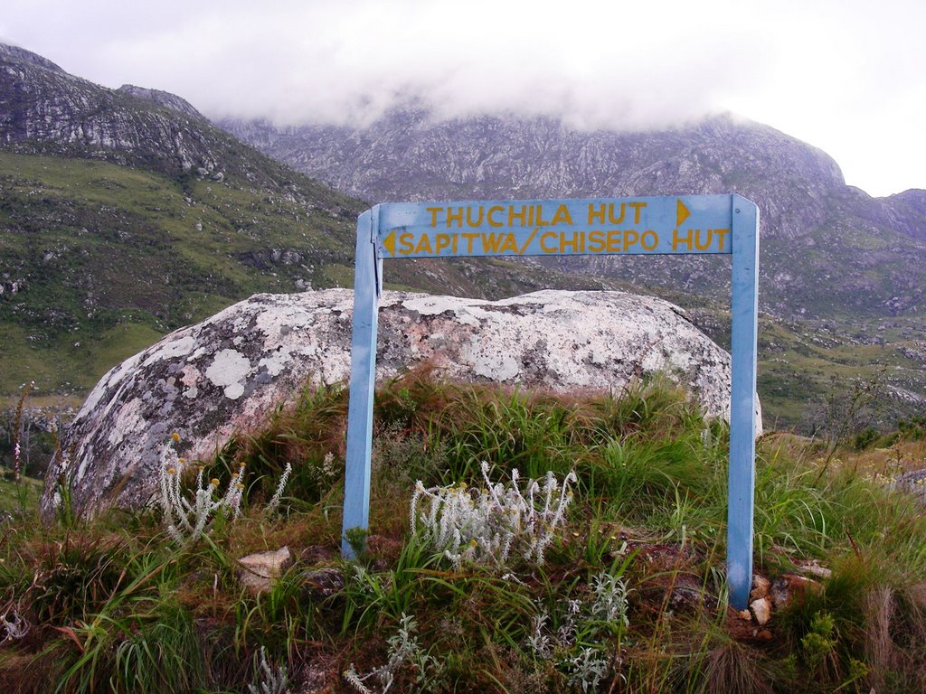
There are a few signs to guide you along the way:


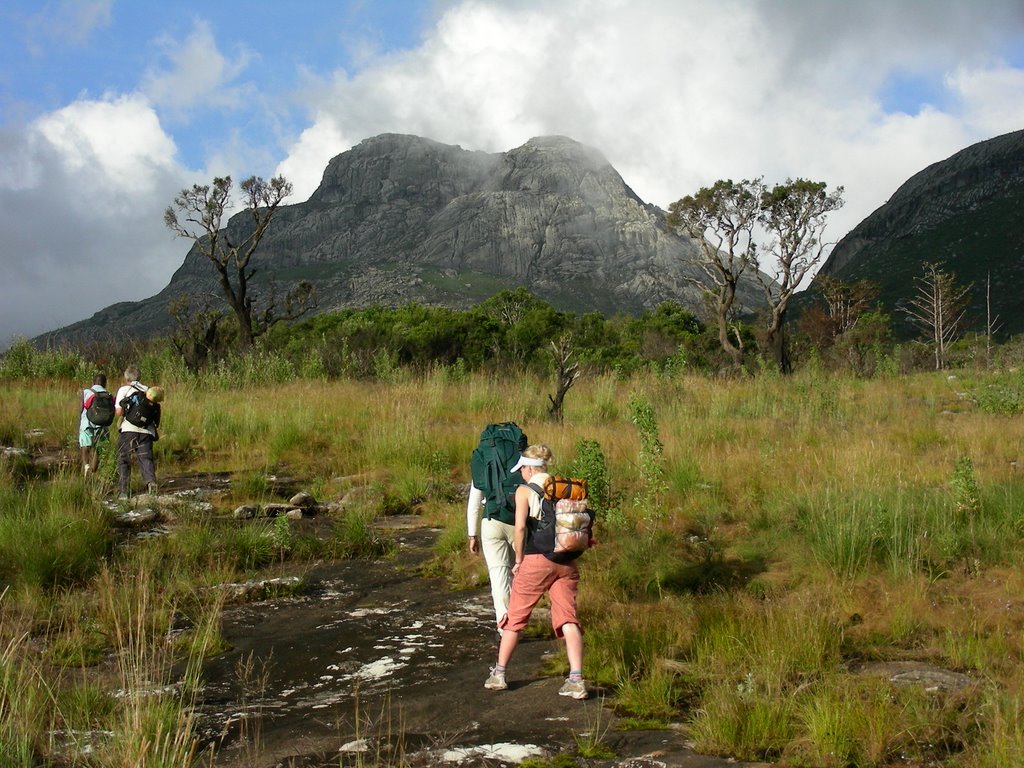
Yet another hiking trail view:


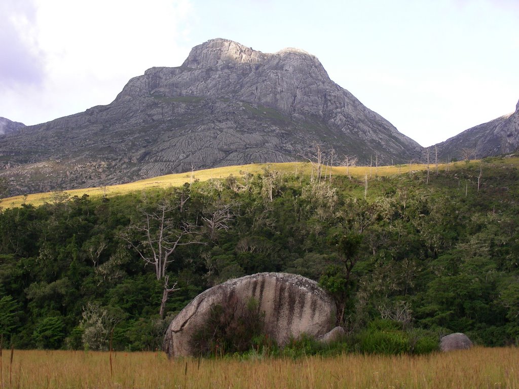
Mountain view:


Me view:


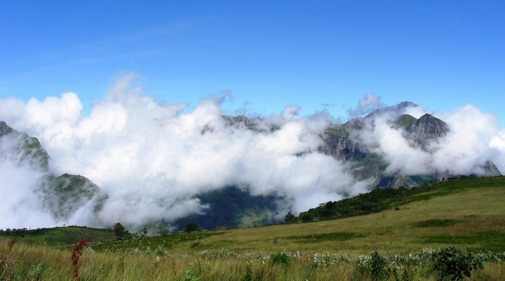
Woke up the next morning to this view:


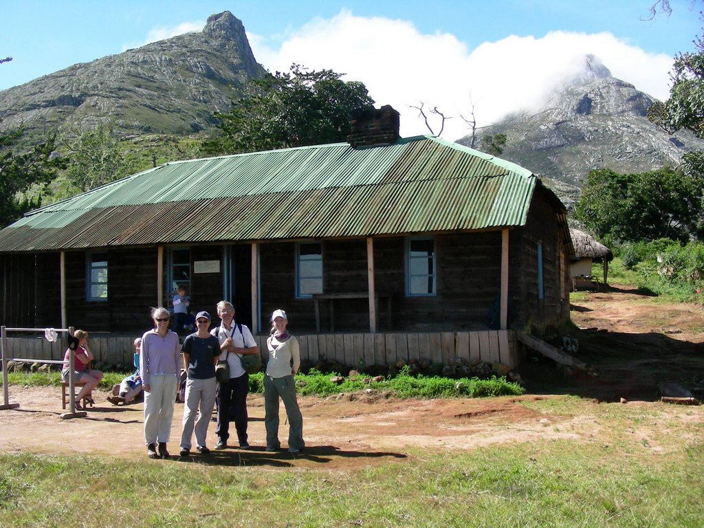
Thuchila Hut – where we spent the 2nd night:


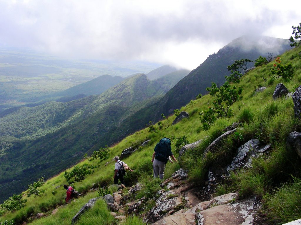
It was a steep hike down!


One of many great waterfalls on Mulanje:


Thuchila River – A possible kayak trip may be in the future at a higher water level?
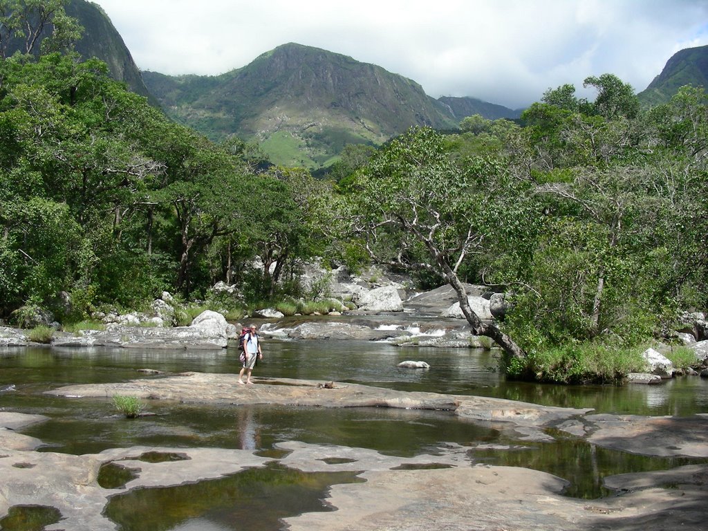


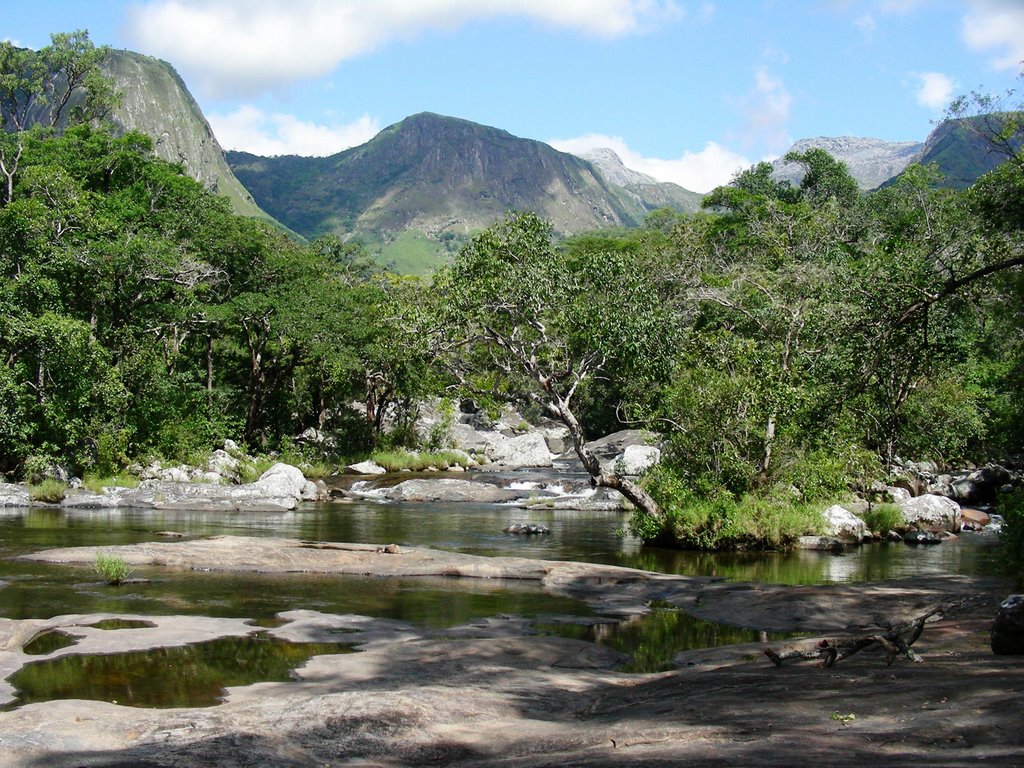
The Thuchila River without me:


Mountain properties around Mt. Mulanje:


Monday, May 01, 2006

Bembeke to Mua Hike

Bembeke to Mua Hike - March 10th

My first hike in Malawi was through the Dedza-Salima Forest Reserve from the town of Bembeke to Mua. VSO held a meeting in Mua, a small town southwest of Lilongwe. So instead of just driving there, a few of us opted to hike part of the way. I was lucky enough to be invited along with some other hiking enthusiasts for a hike from Bembeke, up and over mountains, and then drop down into Mua to meet up for the VSO meeting. Up to this point, I had only been out of Lilongwe for a weekend trip to the lake, so this was my first true taste of Malawi. I was happy to be able to experience the side of Malawi that I have always tried to see when visiting any country – by hiking through the rural villages and meeting the folks in these communities.
We started out again on another rainy day – this is the rainy season so it was to be expected. Luckily the rain did not last long. Once we passed by the large church, as every proper village has one, we started out on a well used and fairly wide path lined with these huge beautiful trees that led into the forest reserve. We passed many locals and I had the opportunity to practice my Chichewa greetings. At first I started with the “Mwadzuka Bwanji” greeting - meaning “how did you wake this morning?” and the conversation goes like this…
“Mwadzuka bwanji?” me – How have you woken up?
“Ndadzuka bwino, kaya inu?” them – I have woken up well, and you?
“Ndadzuka bwino. Zikomo.” Me – I have woken well, Thank you.
“Zikomo.” them – Thank you

SO after saying this about 50 times, I think I have this bit of Chichewa down. Thankfully the afternoon came and I was able to practice the other greeting I have learned- “How have you spent your day?” and it goes something like this…
“Mwaswera bwanji?” me – How have you spent the day?
“Ndaswera bwino, kaya inu?” them - I have spent the day well, and you?
“Ndaswera bwino. Zikomo.” Me – I have spent the day well. Thank you.
“Zikomo.” them – Thank you.

And when we passed by the older folks, and the greeting would become a bit more formal as we would have to shake each of their hands as we went through these greetings. The children we meet along the way were either very happy to see us or scared at the sight of us. Many wanted their pictures taken and got a kick out of seeing the photos on the digital camera. I must say, the kids enjoy hamming it up for a photo here as they do in the states!

As the path started to climb, it became narrower and the grass came over our heads. With this being close to the end of the rainy season, the vegetation is at its peak; at times it was as if I was parting the African grass sea. After we climbed a bit farther up the after effects from a good rainy season were an amazing brilliance of various shades of green from the surrounding hills and there were butterflies everywhere –NICE!

When we reached the top of the ridge, we were rewarded from the other side with views of Lake Malawi, the mountainous peninsula of Cape MacClear and the islands just off its coast. Well worth the few hours climb up!! Now came the hard part, going back down the other side and into Mua a bit steeper than the side we had just come up. The next day we would be going back up this steep part and back to Bembeke. It was a well needed escape from the city and I enjoyed the chance for some much needed exercise. My mind and soul was happy…but my body hurt a bit.

Our Hiking Path:


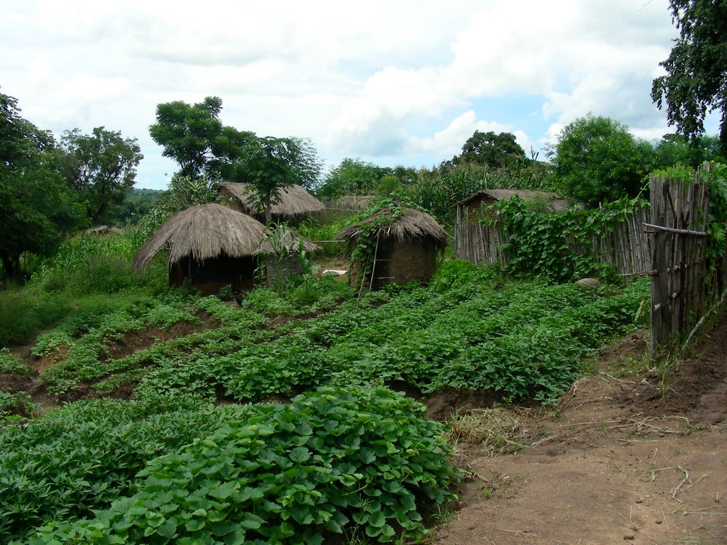
Small Village:


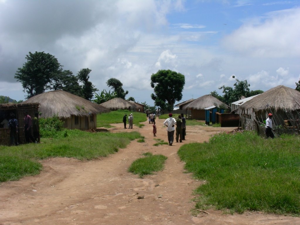
Larger Village:


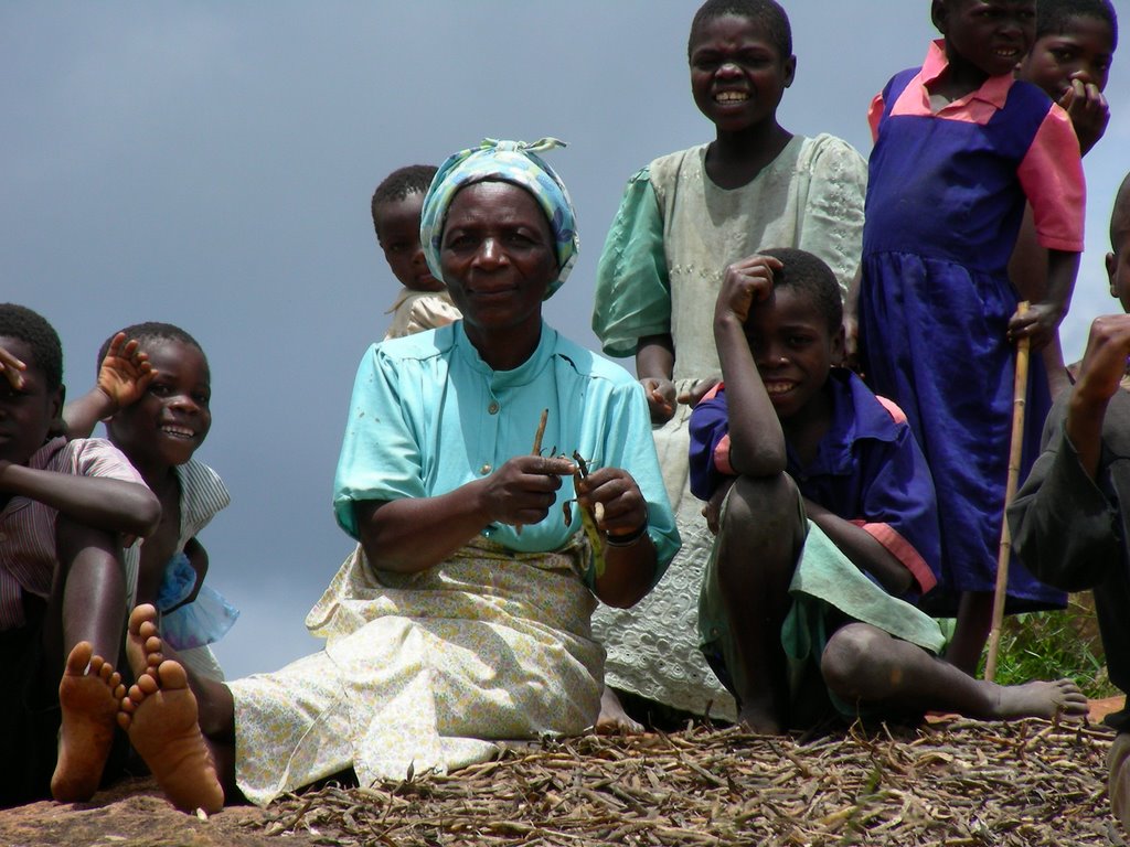
Bean Lady - As I was taking photos of the children, this woman asked for her photo to be taken too. She was a very enthusiastic subject!


Kids are the same wherever you go!


The girls start learning how to carry items on the top of their heads at a young age. I showed this photo to her after it was taken…it brought a huge grin to her face :)


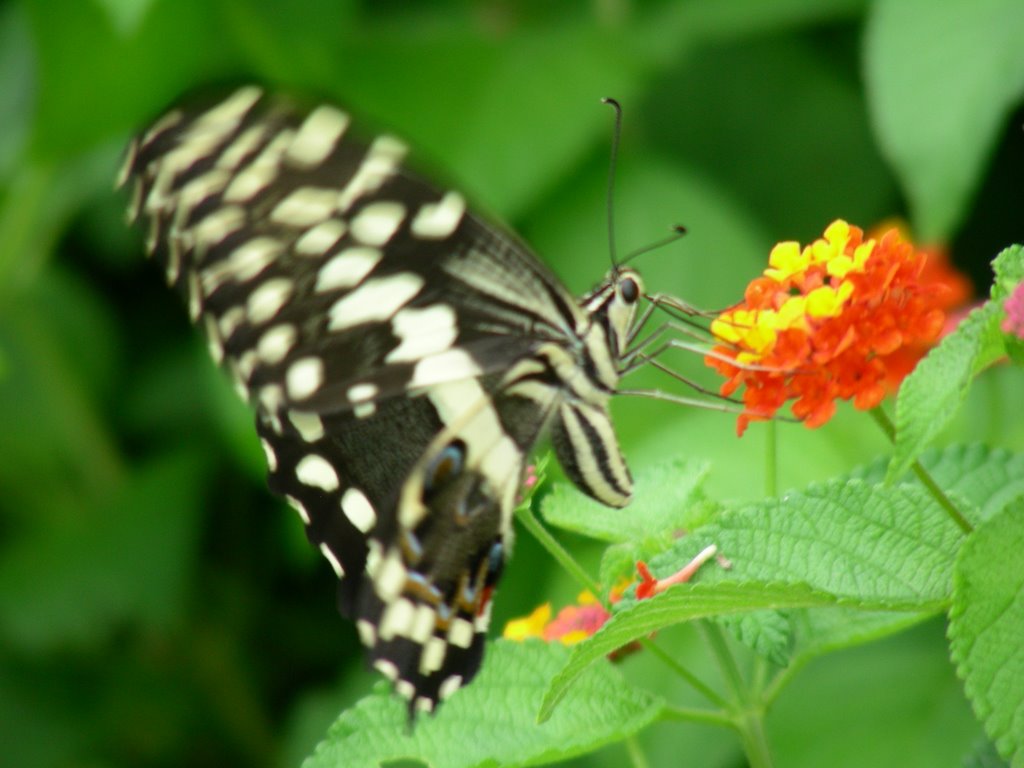
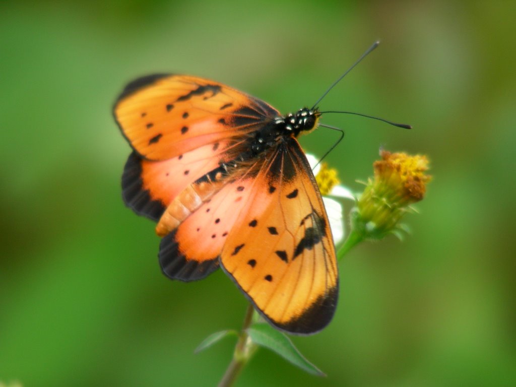
Butterfly Photos:


Sunday, April 23, 2006

Lake Malawi - Senga Bay

Lake Malawi - Senga Bay: March 4th, 2006
I finally made it out of the city!! My first trip out was to ‘The Lake’. I had been going a little stir crazy and feeling a bit restless because I had not left Lilongwe since I arrived in Malawi, which has been a month now. Malawi has an enormous lake, aptly named Lake Malawi, and takes up almost 1/5 of the country’s territory. It is definitely a must see destination and I am hoping to see more of it!
We had a 3 day holiday weekend, so I took advantage of an extra day off and went to Senga Bay with three other volunteers. We headed out of town on a rainy Friday morning for the 1 ½ hour drive to the Senga Bay, which is just east of Lilongwe. The drive was a welcome change to the scenery I had grown accustom to this past month. Lilongwe is very green this time of year and has lots of beautiful vegetation including tall flowering trees, but it is a city and was the same scene every day. My ride to work or into town takes me down 2 lane roads, a few round-a-bouts here and there, and people, bikes and minibuses everywhere.
But as soon as we left the capital, the traffic was gone…the landscape opened up… and there were green hills all around. It was so great to see a different side of Malawi! We passed through a few villages, but no big towns until we reached Salima. Here there are a few stores to pick up last minute items (i.e. beer) before you arrive at the lake. We passed over some railroad tracks and a large train depot building in Salima. I was psyched for about one minute when I was told that these track go from Lilongwe to Salima…however there is no train, so it is unused and the ‘bush’ has taken over the tracks as well as the building. It is a shame, because it would be such an easy trip to get to the lake from the capital by way of a train, especially for those of us without vehicles!
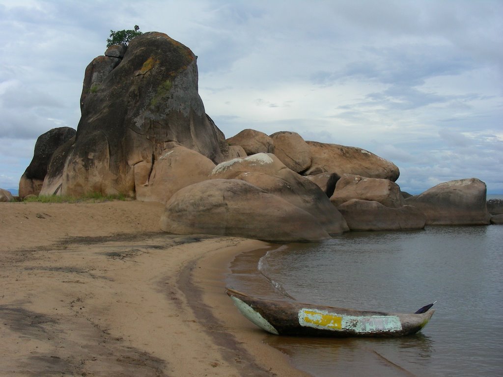
After our quick stop in Salima, we were on to Senga Bay, which is about an additional ½ hr. drive and is located on the shore of Lake Malawi. We camped at a sweet campground called The Steps – which is it is located right next to an upscale hotel The Livingstonia. Once there, we drove through the gates down to a great beach, with cool rock formations, a great view of an island just off shore and then beyond the island are the mountains of Mozambique. The water was clear and calm that first day and oh so refreshing! We swam and hiked around a bit exploring the area.
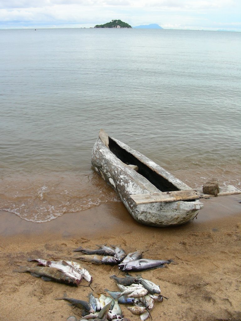
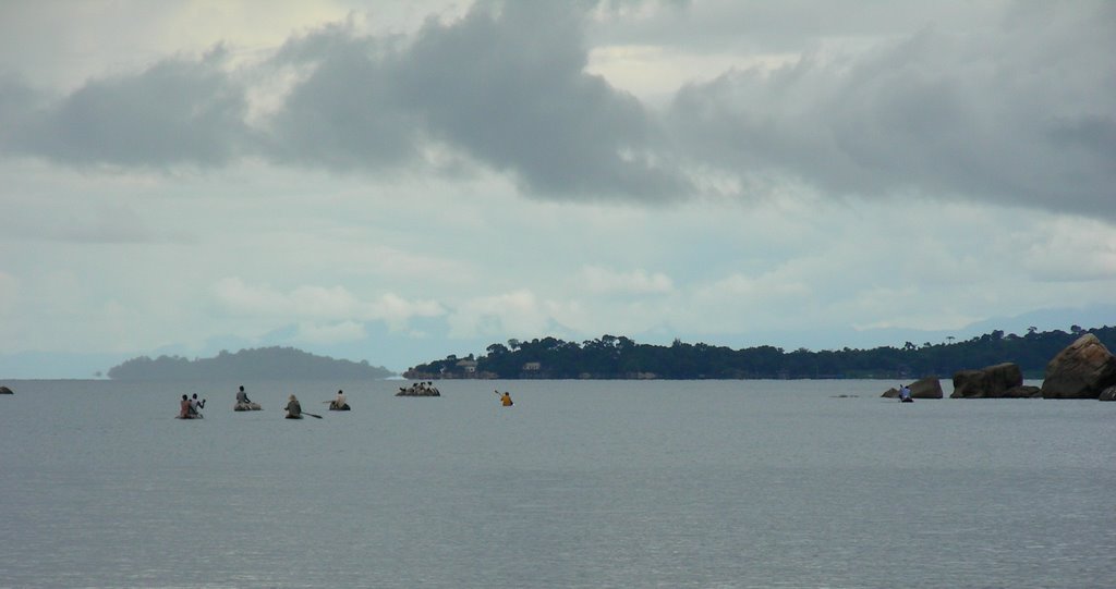
There are many local fishermen that fish in these waters. You can see them day and night, fishing from these not-so-seaworthy dugout canoes using just a line and hook. It is amazing that, and I am not quite sure how, these boat are able to stay upright in bad weather. However, I have read in the local newspaper that some do capsize during storms on the lake and sometimes the fishermen do not survive.
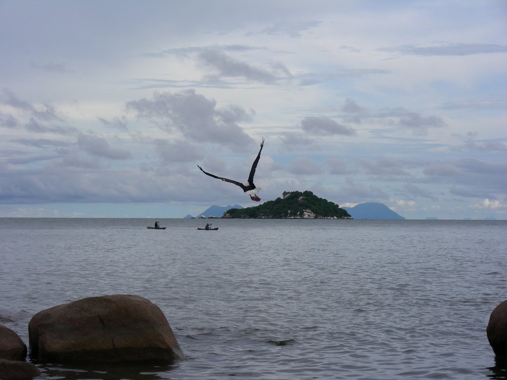
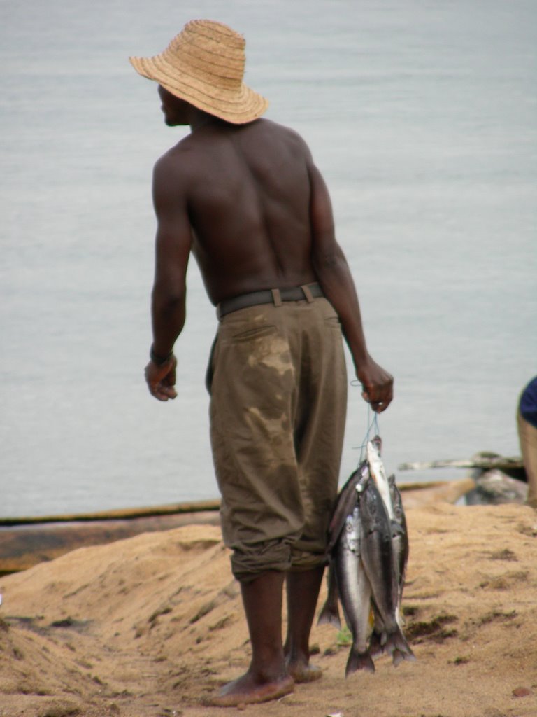
We bought some fresh kapanga fish, which is similar to a catfish, from one of these local fishermen for dinner one night. It made for some good eating and was probably the best meal I have had yet in Malawi. This should tell you more about the meals I have had so far than this particular one  Floris, another VSO volunteer from Canada, did the deed of cleaning the fish, and as we were at the beach chatting, a huge Fish Eagle flew over our heads from behind, swooped down, and snatched a bit of fish that was floating in the water just 10 ft in front of us. It was so amazing to have a close up view of this huge bird and a nice touch to a perfect day at the lake. (I managed to get a photo of it on its 2nd fly by, which is posted below)
That evening the weather changed in a big way. Just as we finished our dinner it started to rain. So we each headed to our tents, mine - I had borrowed from the country director, my VSO boss. Throughout that night the winds and rain where unrelenting. I faired well, however the tent did not. There were three big storms that passed through the night. The 2nd one, at about 1 am, broke the center pole, and the 3rd one, at about 5 am, ripped the rain fly. Right…so I was now awake and getting wet…time to get up I guessed. I headed to a thatched roofed building that served as a bar for the campground. I started the day watching the fish eagles diving to the water for their breakfast and the sun rising over the lake and mountains of Mozambique. Another nice touch to a perfect weekend!
The hard part was telling the country director about her tent – she took the bad news better than expected...I am still here!

PHOTOS:
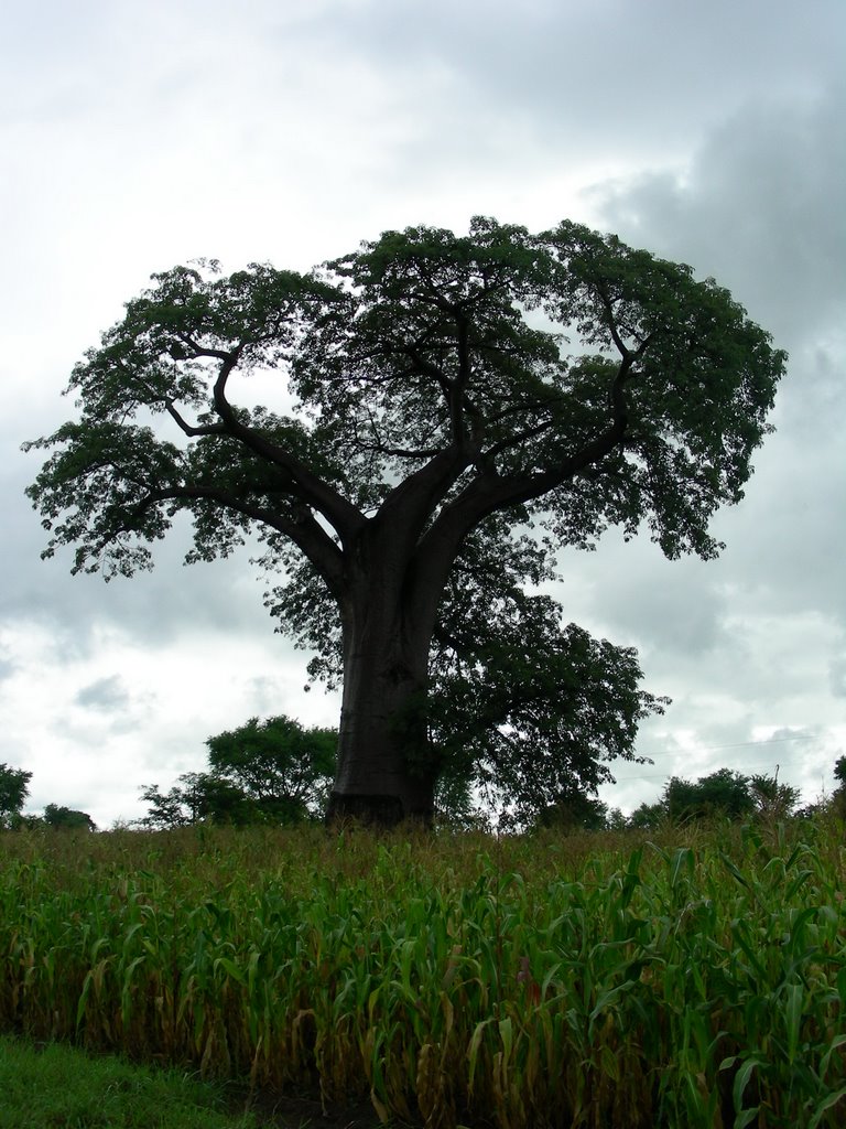
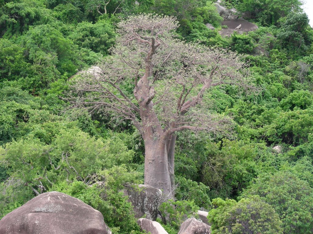
Huge Baobab Tree on the drive to Senga Bay


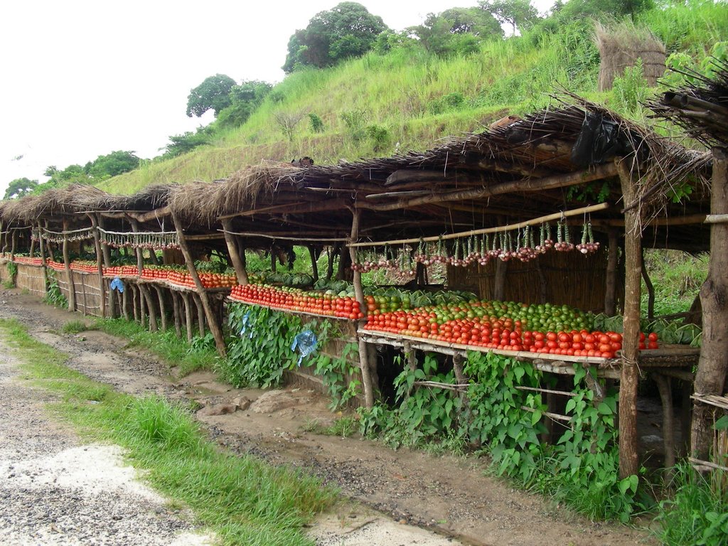
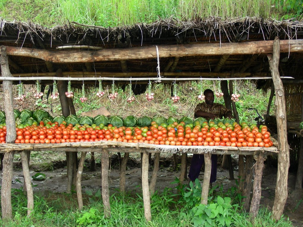
Roadside Fruit Stalls


Huge Baobab Tree on the beach at Senga Bay


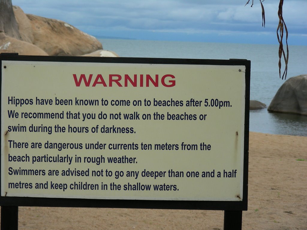
And a hippo did make an appearance that evening


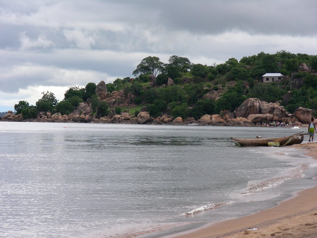
The beach at Senga Bay


Fish Eagle


Catch of the Day and our dinner


The beach has awesome rock formations


Fisherman with his catch


Fishermen on the lake


The Livingstonia Hotel, which weathered the storm better than the tent.

Sunday, April 09, 2006

First Impressions

First Impressions:

As the plane flew in towards the Lilongwe airport, and was dropping lower, I was able to get my first glimpse of Malawi. As I was looking out the window I saw a vast expansion of bush. There were not a lot of trees or mountains out my window, just lots of grassland, scrubs and a few scattered hills in the distance. Then as we dropped even lower, I was able to make out small thatched roofed huts here and there. And then we landed. But where was the capital ‘city’…I never saw any buildings… roads… any buildings?? Well, as it turns out there are plenty of buildings, roads and more buildings in Lilongwe, they were just on the other side of the plane :)

After we landed, I met up with the other volunteers and Rhodia, the VSO rep that was there to meet and greet us. Luckily and to my amazement both my bags made it through all the airport connections throughout the long trip.

The first week in Malawi was spent attending In-Country Training with VSO. My group consists of 8 volunteers - 4 from the UK, 2 from Holland, 1 from Germany, all working in either Health or Education...I am the only volunteer from the US. Even though I am working in IT, my placement is under the Health program since I am working with the Nurses and Midwives Council of Malawi.
For the duration of this training, we stayed at the Riverside Lodge in the capital of Malawi – Lilongwe. By the way, I never did find the river that you would expect to be beside the “Riverside’ Lodge??
Our training consisted of language lessons in Chichewa - the local language of Malawi, information on the HIV/AIDS situation in Malawi, working as a volunteer in development, and basic information on the country of Malawi. The last 2 days were spent in a workshop with our employers and this was our first introduction with our future colleagues. Mrs. Linyenga is the Dept head of the Registration and Monitoring Dept at the Nurses and Midwives Council. She is very warm and bright and brought many insightful ideas to the workshop. I had a good feeling about my placement for this first introduction.

With our training completed, most volunteers headed out of Lilongwe to all corners of Malawi. However, since my placement is here in the capital city, my journey took me just across town. My housing was not yet ready, so I moved into another hotel located in Area 11 and is aptly named the Villa 11 Hotel, just North of City Center in Lilongwe.

So what can I say about Lilongwe? As of yet, I have not had an opportunity to see much of the city. During the In-country training, we stayed all week at the Riverside Lodge and did not get out of the hotel, other then walking up the road to the other hotel that sells beer (the Riverside did not have a bar). The training schedule did include a day for the group to go into the Old Town area, where the main market area is located. However, during this particular week, the local street vendors were protesting over a government decision to close down their vendor stalls in the Old Town area and force them to move into a designated market area. Apparently the location of this market area does not offer the amount of business as the streets in Old Town. And on the other side of this issue are the local business owners, who are upset over the street vendors taking away their customers. That and the fact that these street vendors can be unrelenting at times to try to sell passersby their goods.
An additional note - the next week there were more protest by the local Muslims over the publishing of the cartoons in Western newspapers that caused so much controversy all over the world; interesting that this issue made it here to Malawi. So there was not a lot of opportunity to get into Old Town. However, I will have 9 months to explore this part of Lilongwe.
What I do know about Lilongwe: There are 2 main areas – City Center and Old Town. The capital of Malawi has just recently been moved to Lilongwe from the South. The decision to move the government offices was so that the capital would be more centrally located within the country. However, the city of Lilongwe is still in the midst of catching up to this added responsibility. I seriously think that the government must have hired the lowest bidders from the choices of civil engineers for designing this city. Everything is so spread out here and nothing is close by. The city is sectioned off by ‘Areas’, each one assigned a particular number. As I mentioned before, I am currently living in Area 11, and Area 12 is just next door, but the other surrounding Areas are 42, 31 and 34. The house that I am moving into in a couple of weeks is on the other side of City Center in Area 15 - and Area 14 is just across the road, but the other surrounding Areas are 47, 6 and 32. I am not sure where Areas 13 and 16 are… Hmmm? I have yet to figure out the logic of how or why these Areas are where they are and why the numbers have been assigned as they are, and no one seems to have an answer.

In the mean time I was getting to know the other main section of Lilongwe – City Center. The Area 11 Hotel is close by and my office at The Nurses and Midwives Council is located in City Center. The place is very busy with people during the week, but empties during the weekend as most businesses are closed. Getting around town can be a logistics puzzle. The minibus is the most popular mode of transportation about town. You can catch one from anywhere in town to Old Town for about .50 cents. But these minibuses just go in the direction of North and South. There are not any minibuses available going in the East-West directions. So in order to go West of where I was located in Area 11, you will need to take a minibus to Old Town (South) and then another one (going back North this time) to the area that is West of your original location. So you have to travel in a ‘V’ path…and cost you 2 minibus rides. I am very much looking forward to getting a bike from VSO and being able to ride to/from work as well as to the market. It will make life much easier!!
The people I have meet here and just casually pass by have been so welcoming and friendly. A simple “Mwadzuka Bwanji” (Good Morning) always brings a warm smile and sometimes a laugh. Perhaps I need to work on my pronunciation. But, what a way to start the day.
I am looking forward to learning more Chichewa and try to get more laughs from the locals.

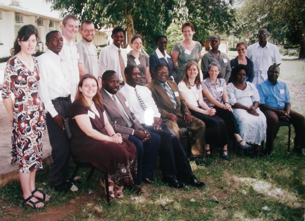
VSO Volunteers and Employees:


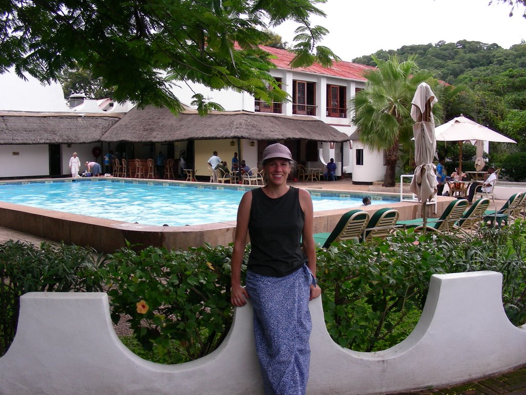
Riverside Lodge:


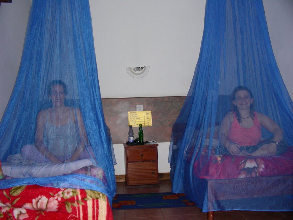
1st Line of Defense against Malaria:


Street Scene:

Sunday, April 02, 2006

Getting Here

Getting Here:

So I finally made it! I look back on my last weeks in the US and can not believe that I did make it here. There were many moments when I thought that it was not going to be possible to get every thing done. I had many ‘To Do’ lists, and as soon as I completed one task, I would think of three more to add to the bottom of the list. I was a bit stressed to say the least. But with the help of many friends and my family I did get most everything done before I stepped onto that first plane of many on my way to Africa.

Exhale…that is my huge sigh of relief. How wonderful it felt driving to the Richmond airport. There was no more time, there was nothing left that I could do… even if there was something that I had forgotten…oh well, it was too late to worry about it. And that was the feeling I was jealously awaiting those last few weeks before I left...Ahhhhhh.

I left Richmond on Friday, Feb. 3rd, through Washington DC for a night flight to London…I arrived in the morning and my next flight did not leave until that evening, so I had a bit of extra time on Saturday to finish off just 2 remaining items on my ‘to do’ list J. VSO set me up with a day room at an airport hotel and I was able to walk around and explore (I forgot how charming the houses and neighborhood shops are in England compared to the prefab generic buildings that seem to spring up everywhere in the US.) I ended up taking a bus to Tesco’s, a large supermarket, for a 220 volt and British style outlet plugs surge protector and battery charger that I could not get in the US. This was interesting for me, because the last time I was in England, which was over 20 years ago (yikes that is a while ago) I did not see any large supermarkets. With those last 2 items scratched off the bottom of my list I was able to sleep well for a few hours, and then up again to catch another night flight – this one was to Johannesburg, South Africa.
11 hrs later I am finally standing on African land, and in just a few more hours in the air I reach Malawi.