Ahhhh Mulanje! What a treasure Mt. Mulanje is! The hiking here is SUPER, the hard part is just getting to the top :)
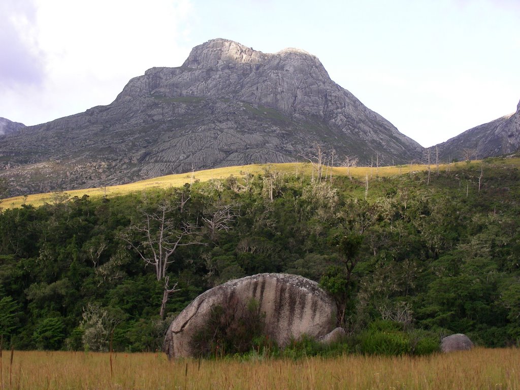
Mt. Mulanje is actually made up of several mountains, the highest being Mt. Sapitwa (9843 ft or 3001 meters). I went hiking over the long Easter weekend with 3 others, Jill, Paul, Emma and our trusty guide – Edwin. A guide ended up being a necessity as the paths on the Mt.Mulanje massif are not well marked and it is easy to take the wrong turn at a number of junctions and quickly get lost. It is also a good way to contribute some funds into the local economy!
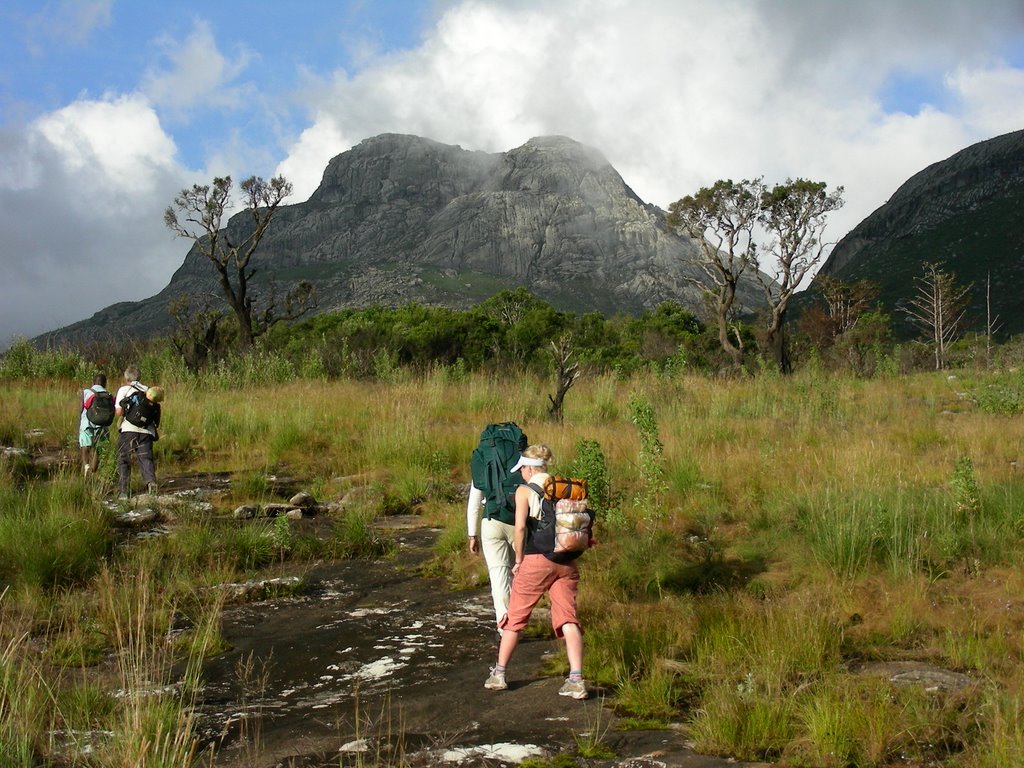
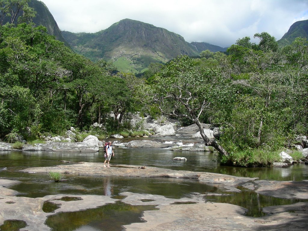
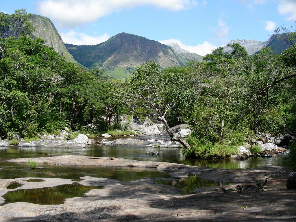
The 5 of us started out from the CCAP Mission in Likhubula, at the based of the mountain just past the small town of Mulanje. We immediately started climbing up and continued going up and up for the next 4.5 hours on the Chapaluka Path. This trail was beautiful – we crossed many creeks; passed numerous waterfalls; all sorts of cool vegetation (see below for photos); and many spectacular view of the valleys and surrounding mountains.
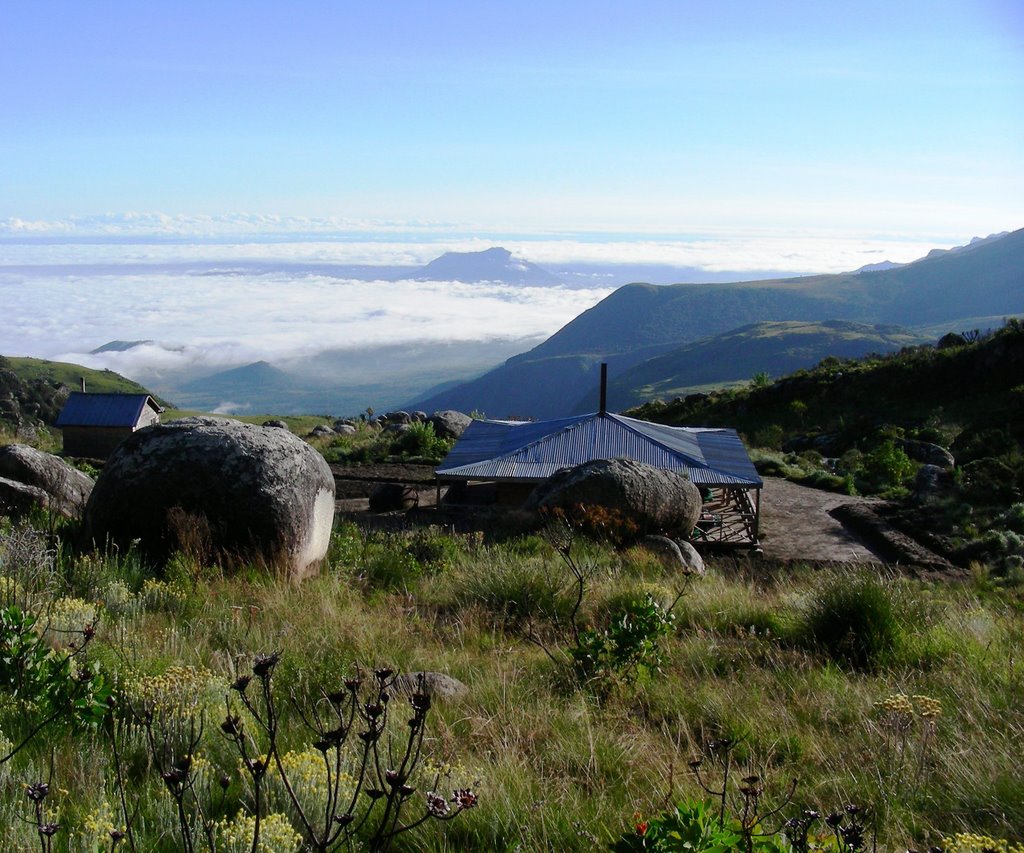
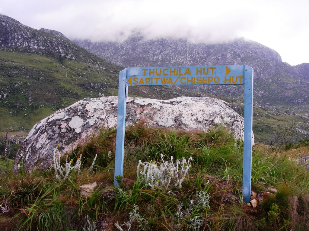
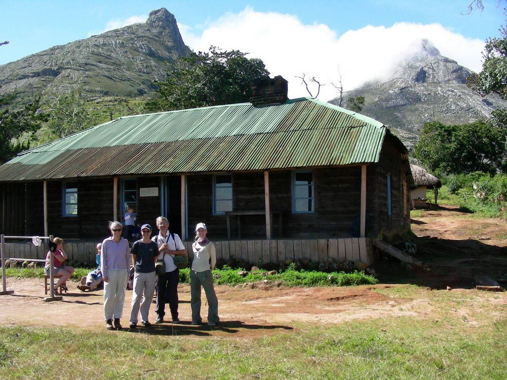
Once we reached the top of the Mulanje plateau, the path became a bit more bearable and after a couple more hours we arrived at the Sapitwa hut, where we spent our first night. The Mt. Mulanje area has a great network of paths on the top of the plateau and several huts, about 8, to stay in. All the huts have a caretaker that provides fresh water and wood for the fire and will even clean up your dirty dinner dishes. The huts also have a closet full of pots and dishes to use.
We ate a ‘delicious’ dinner that night – pasta with shitake mushrooms…YUM! (It is amazing how good a simple pasta dinner taste after such a hard day of hiking.) Since this was a long holiday weekend, the hut was packed full of hikers, some Peace Corps folks, other volunteers and ex-pats. But everyone was able to find a place on the fire to cook and a place on the floor to sleep. With this many folks sleeping in such close quarters I was thankful I brought my earplugs and was able to sleep…that is until the wind started howling about 3am. The sound of a fierce wind usually puts a smile on my face as I love to hear the roar of nature, however this time it brought a bit of angst. I became worried because we were planning on hiking to the peak of Mt. Sapitwa the next morning and a strong wind meant that it would either be a difficult and not so fun hike to the summit or no summit at all.
We woke the next morning to a beautiful sunrise over the valley below and a calm morning. Happy with the weather and our tummies full of porridge, we started off to the top of Malawi! Again, we were very glad to have a guide with us. The path to the summit of Mt. Sapitwa is poorly marked and very difficult to follow. You really need to know the way up or you would get completely lost. In fact another hiker did get lost on the morning we headed up the mountain. About an hour into our climb, we came across a Dutch woman that had become separated from her 2 friends (no guide) - she was alone and extremely upset and frightened. She joined us until we found her friends a bit further on. The woman was still shaken up and ill prepared for the tough hike. We were able to persuade one of them to take her back down the mountain as she was in no condition to carry on. So with our trusty guide Edwin leading the way, we were able to enjoy the climb up. I enjoyed this hike so much as it was another fun path… going through a huge boulder field meant we went up, crawled under, climbed over, jumped onto and squeezed in between huge boulders. FUN!! There was one fairly tricky section - very steep and exposed rock face that would be a bit sketchy if wet and would be too way too slippery climb up, or down. Luckily the weather was good – all during the climb up and we had wonderful views of the surrounding mountains, the plateau and the valleys below.
We made it to the top, however the clouds made it there before we did, so the views were not as spectacular as during our climb. However, we were able to see the many waterfalls on the plateau below and the tea estates far below at the base of the mountain. Not a bad way to spend the day!!
We headed down, got through the tricky part – most of it sliding down on our bums… picked up our packs at the base and headed to the other hut, Thuchila Hut. We arrived to the hut just after dark and in the rain… very tired but so happy that the weather had held while we were on the mountain! Another delicious pasta dinner and a good sleep got us ready for the steep hike down the massif the following day.
Woke to another beautiful day on the mountain and did a bit of yoga as the early sun was hitting the mountains. Not a bad way to start the day!!
Unfortunately there is no easy way down the mountain, as all the paths are fairly steep and oh so hard on the knees!! There was a great waterfall that was in view most of our decent down, down, down to the Thuchila River where we had our lunch break. I think this was my favorite part of the hike. It was nice to be sitting next to a river again.
With the difficult part over, I put on my Chacos and enjoyed the easy hike through the village along the trail to the road all the way practicing my Chichewa...
“Mwaswera bwanji?”
“Ndaswera bwino, kaya inu?”
“Ndaswera bwino. Zikomo.”
“Zikomo.”
I could easily spend a week up on top of Mt Mulanje exploring all the corners of this beautiful and magical place. So if anyone is interested in seeing this magnificent mountain, I will gladly go back and be your hiking partner!!
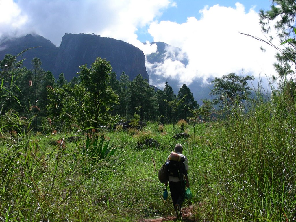
Starting out on our hike. Mt. Mulanje and our destination loom ahead:
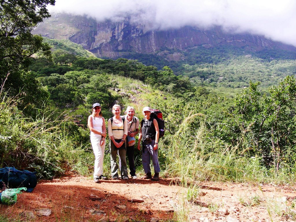
The group (Jill, Emma, Paul, me) full of energy at this point in the day:
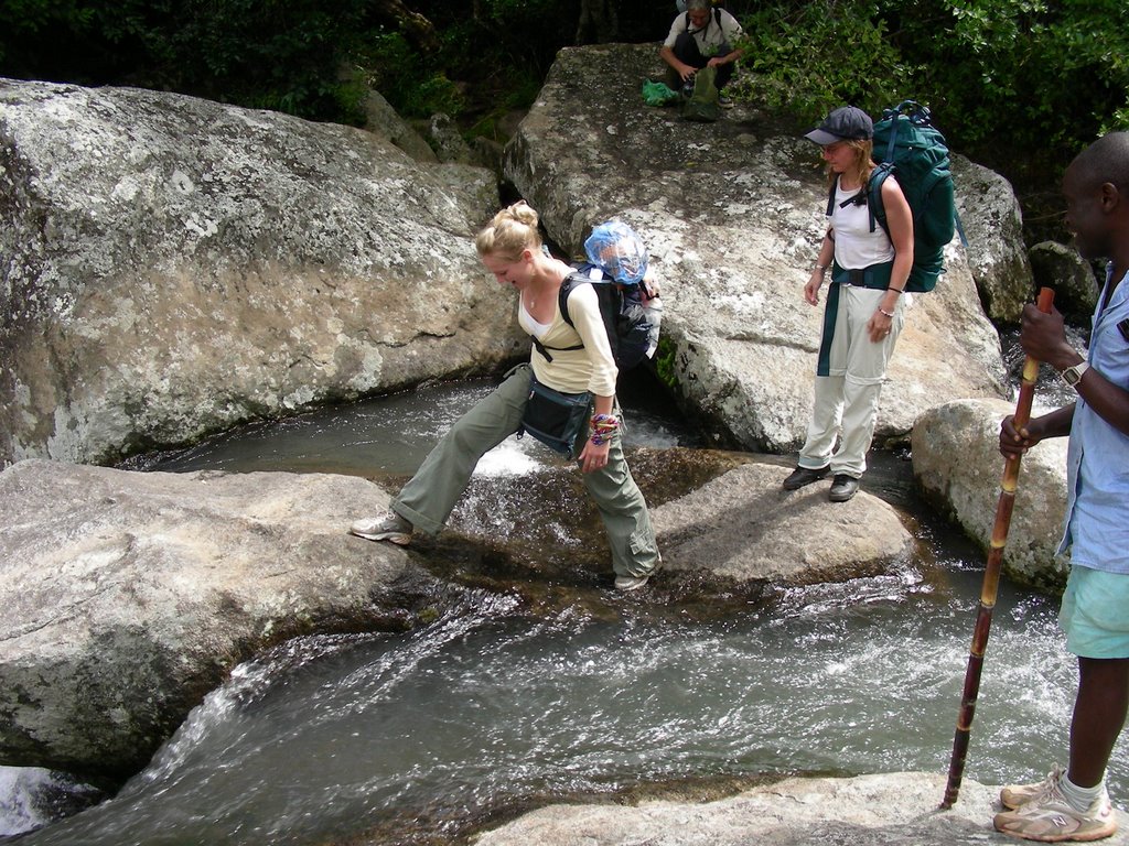
One of the many water crossings on the hike:
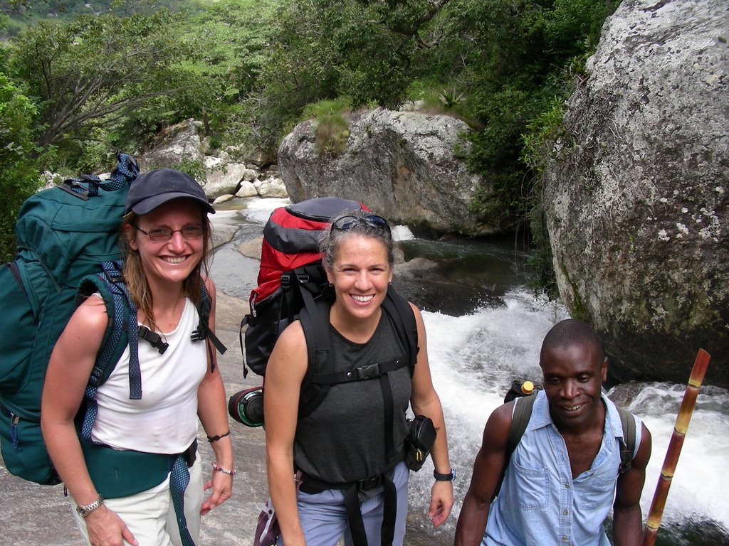
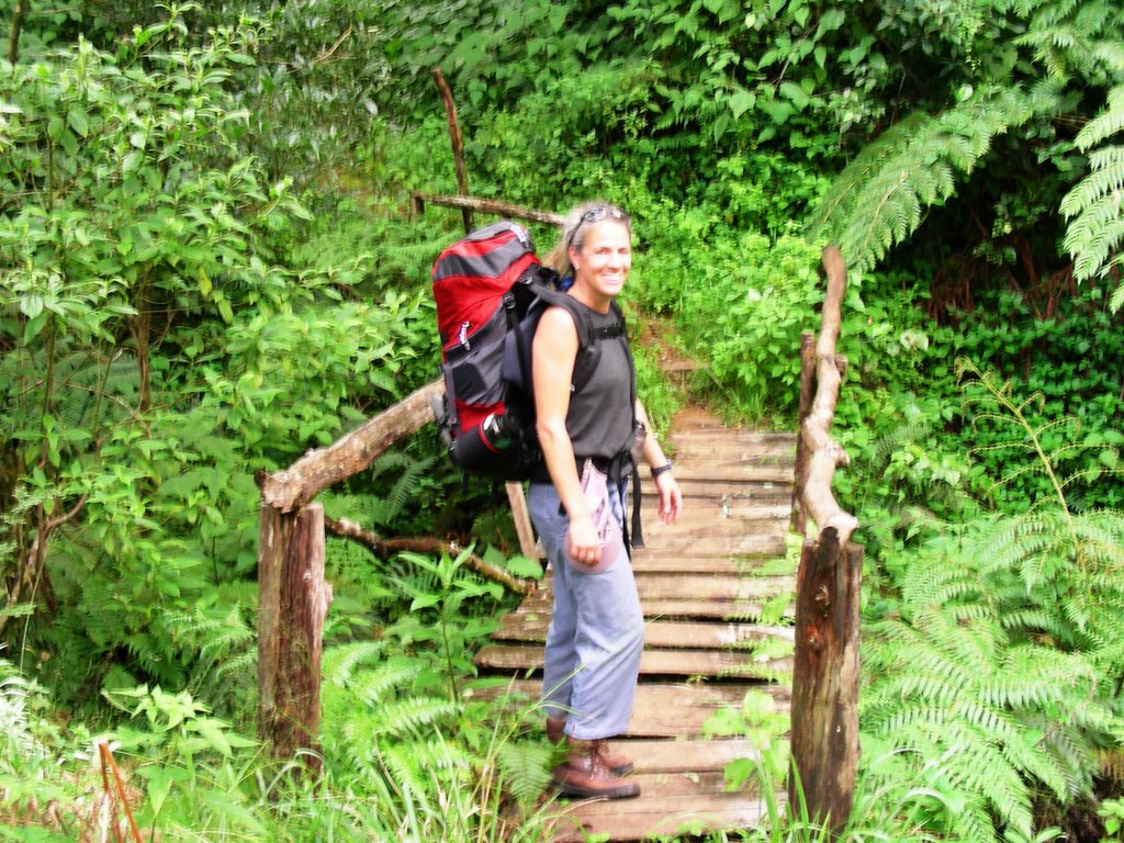
Jill, me and Edwin:
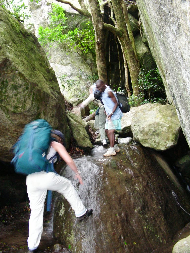
There are many tricky spots along the way:
At the top of the plateau:

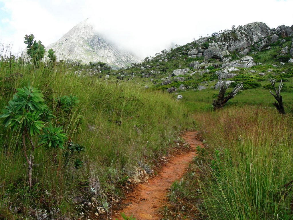
Hiking trail view:
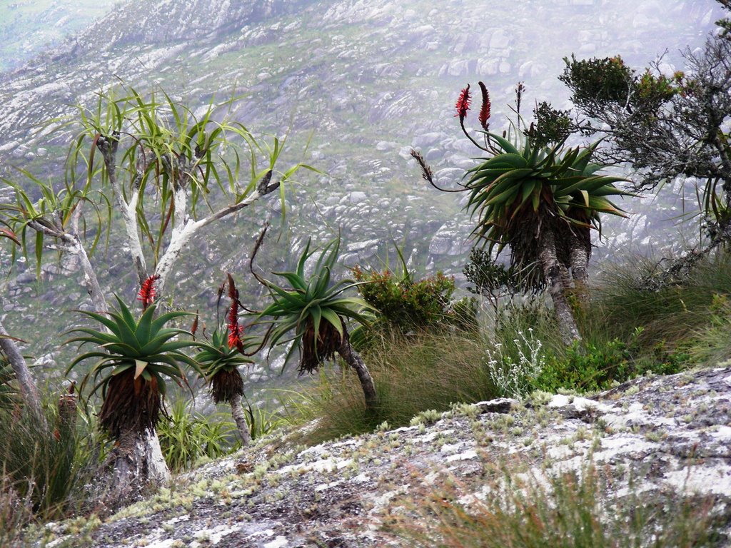
The vegetation was amazing – I loved these little trees:
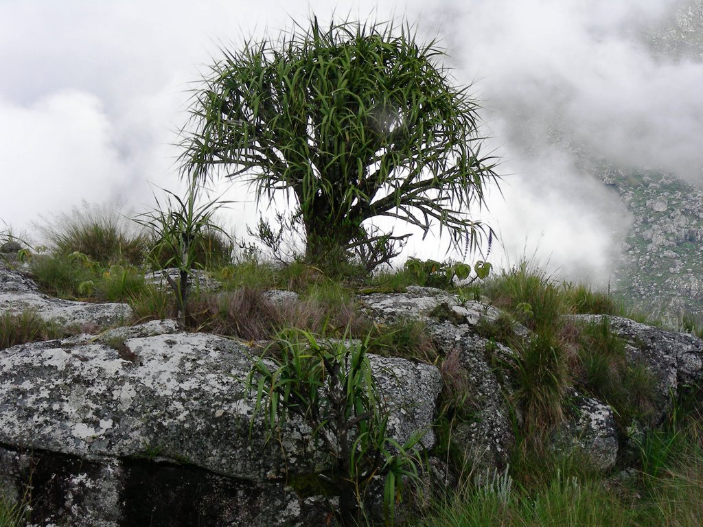
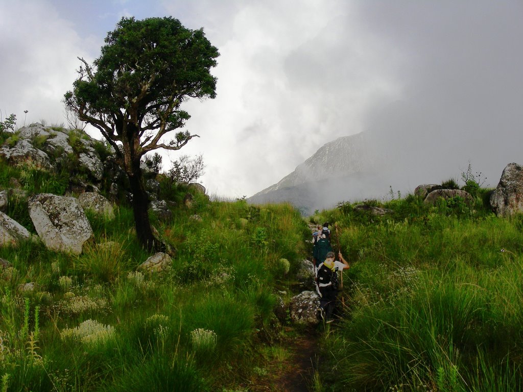
Tree in clouds:

View of the valley and trees:
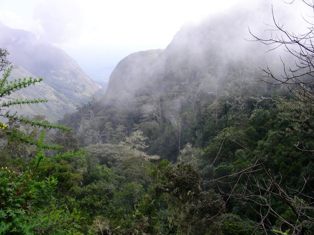
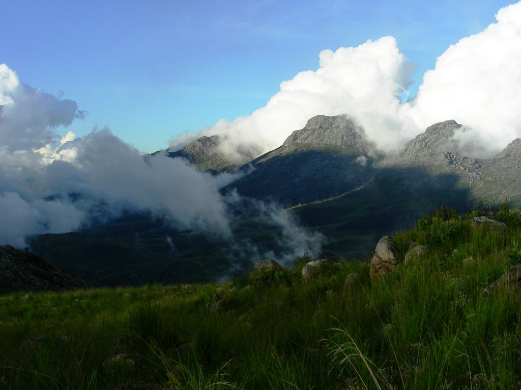
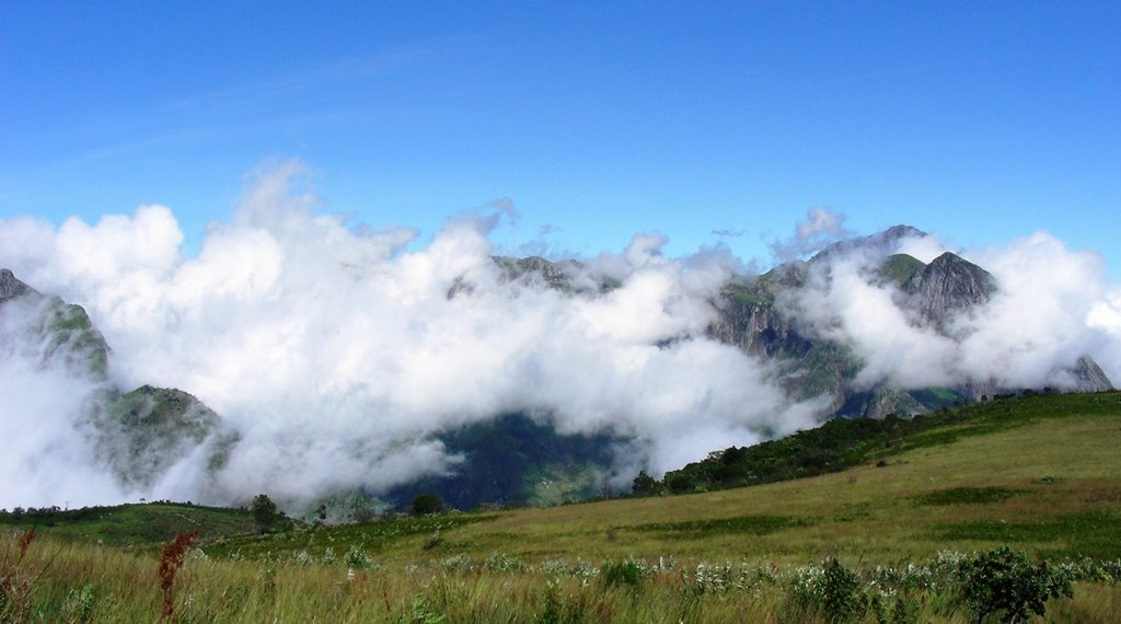
The clouds would come and go, revealing the magnificent mountains surrounding us.

Another hiking trail view:
Mountain view:
Sapitwa Hut – where we spent the 1st night:
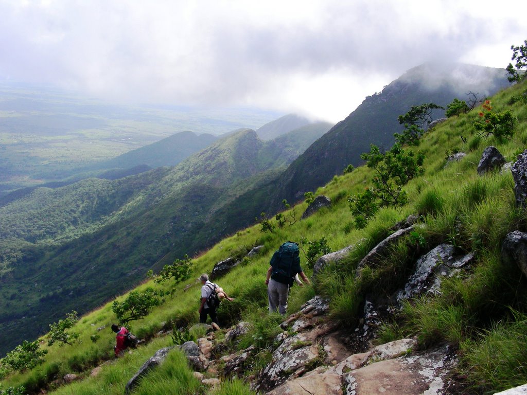
On the way to the peak of Mt. Sapitwa:
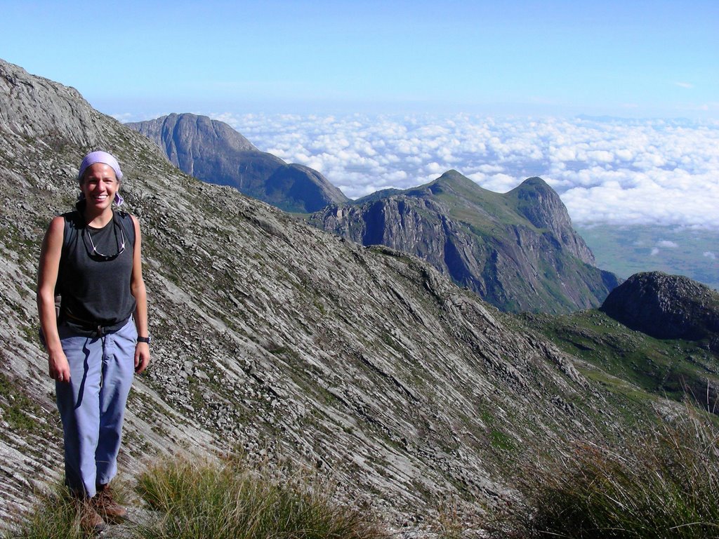
Above the clouds:
Mountain view:
Our wonderful guide Edwin:

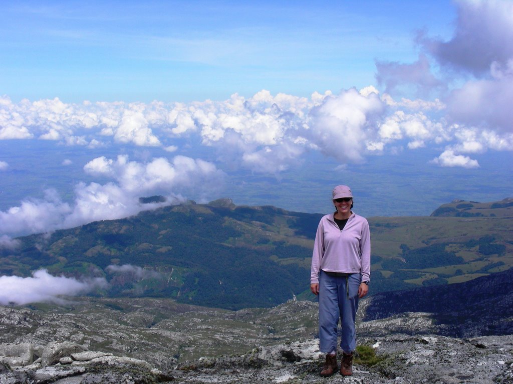
The top of Malawi:
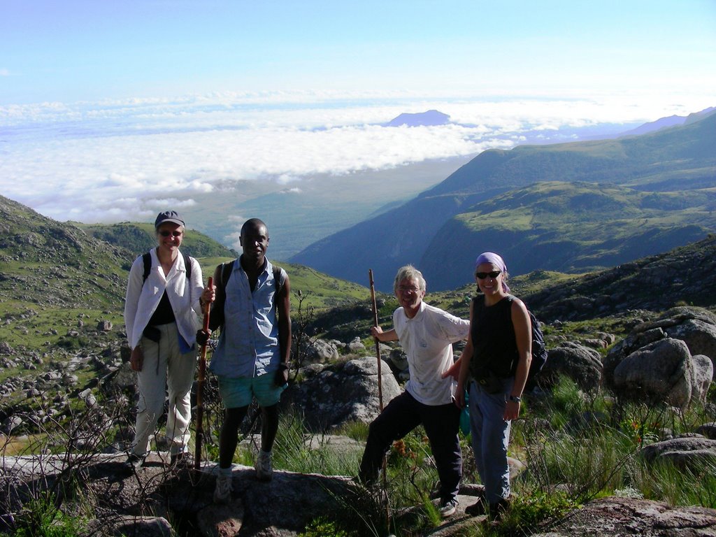
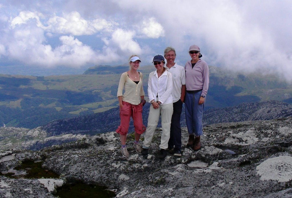
The group at the top of Malawi:
More cool vegetation:
There are a few signs to guide you along the way:
Yet another hiking trail view:
Mountain view:
Me view:
Woke up the next morning to this view:
Thuchila Hut – where we spent the 2nd night:
It was a steep hike down!
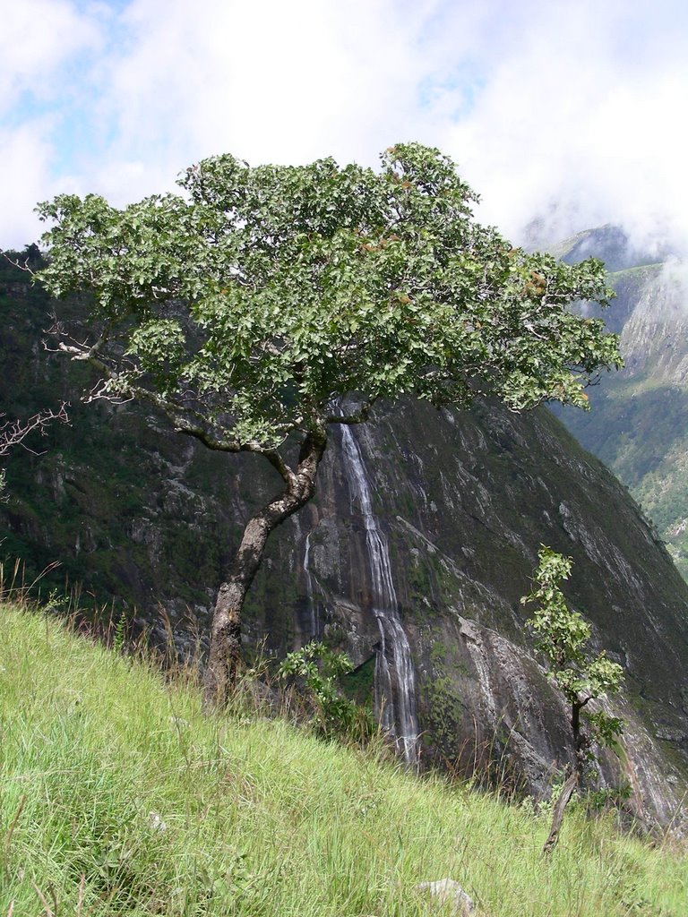
One of many great waterfalls on Mulanje:
Thuchila River – A possible kayak trip may be in the future at a higher water level?
The Thuchila River without me:
Mountain properties around Mt. Mulanje:


